Description
The City of Saint Paul with the community will be developing a Vision Plan for bicycle boulevards on the West Side. The plan will include the type of bicycle boulevard treatments and where they should go on the bicycle boulevards outlined in the City's Bike Plan. Having a documented Vision Plan is helpful when applying for funds to implement the plan. The bicycle boulevards on the West Side are part of the City's Bike Plan.

What is a bicycle boulevard?

Bicycle boulevards (also called neighborhood greenways or neighborways) are streets with low motorized traffic volumes and speeds, designed and designated to give people traveling by bike, foot, or other mobility assist devices such as scooters or wheelchairs travel priority. Bicycle Boulevards use pavement markings and traffic calming tools to create a safe and convenient route for people, especially at crossings of busy cross streets.

Location

  • Andrew Street
  • Congress Street
  • Baker Street 
  • Belvidere Street 
  • Curtice Street 
  • Delaware Avenue 
  • Manomin Avenue
  • Hall Avenue

Timeline

  • Community engagement in 2024
  • Temporary project install in spring/summer 2025
  • Plan completed in 2025
  • Final implementation to be determined based on funding
Tags

    Temporary Installation of Bicycle Boulevard

    As part of the West Side Bicycle Boulevards Vision Plan the city will be doing a quick build, which is a temporary installation, of a bicycle boulevard along part of the proposed route (see project map below) in spring/summer 2025. The quick build design and location will be based on the feedback gathered during the planning process. 

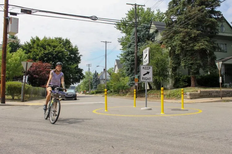
    A quick build is temporary infrastructure, like plastic bollards (poles), paint, and signs, that allows for the city to implement a bicycle boulevard or pedestrian improvements quickly and at lower cost than permanent infrastructure like concrete. This allows the city to test out the design and gather feedback from residents. There is currently no funding for permanent infrastructure on the West Side Bicycle Boulevards Vision Plan.

    Example of a temporary traffic circle used in Pittsburgh, PA. Photo from BikePGH.

    Temporary traffic circle with bollards and paint

    Thanks for Sharing your Thoughts on the Comment Map

    The City of Saint Paul gathered comments in an online comment map about biking on the West Side currently. Comments will help shape recommendations in the West Side Bicycle Boulevards Vision Plan.

    The comment map was closed on October 6, 2024. 

    View comments shared on the Map for Planned West Side Bicycle Boulevards.

    Project Map

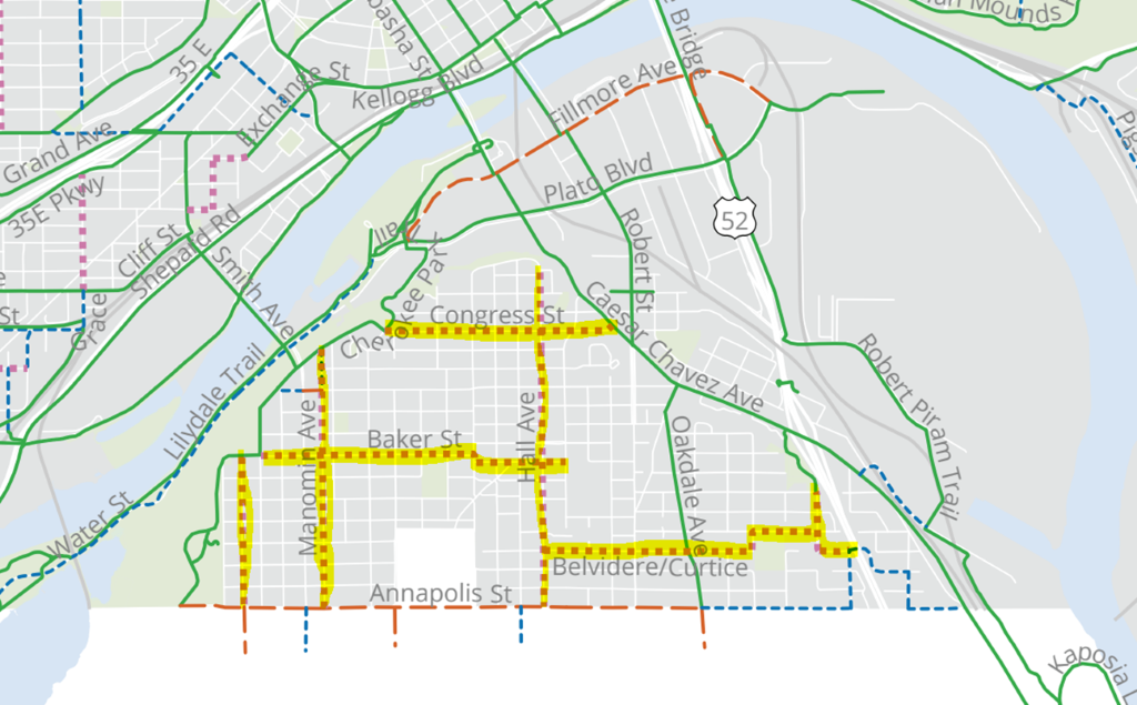
    Map showing planned bike boulevards on the West Side of Saint Paul

    Future bike boulevards are shown on the map in yellow. The West Side Bicycle Boulevard Vision Plan will identify the location of traffic calming and other traffic features to create a safe and convenient route for people on these streets highlighted in yellow.

    What is a Bicycle Boulevard?

    Bicycle boulevards (also called neighborhood greenways or neighborways) are streets with low motorized traffic volumes and speeds, designed and designated to give people traveling by bike, foot, or other mobility assist devices such as scooters or wheelchairs travel priority. 

    Bicycle Boulevards use pavement markings and traffic calming tools to create a safe and convenient route for people, especially at crossings of busy cross streets. These infrastructure measures are usually used in combination to create a safe and continuous bicycle boulevard.

    The infrastructure measures shown below can be installed as permanent structures with concrete or temporary installations using paint and bollards. Not all of the infrastructure measures below are currently in use in the City of Saint Paul.

    There are bicycle boulevards in Saint Paul on Charles Avenue, Margaret Street, Jefferson Avenue, and Griggs Street North. These current bicycle boulevards in Saint Paul have mini traffic circles, bumpouts, sign reconfiguration, traffic diverters, and improved navigation signage. Bicycle boulevards are utilized around the country, some of the facilities elsewhere feature additional treatments like Chicanes/Pinch Points.
    Bicycle Boulevard Infrastructure

    Residential street intersection with traffic circle in the middle to slow traffic

    Traffic Circle

    Mini traffic circles at minor intersections which force vehicles to slow down to maneuver around them.

    Saint Paul street with traffic diversion to allow bikes and not cars

    Traffic Diverter

    Traffic diverters at certain intersections allow for pedestrians and bicyclists to move through but not vehicles. Traffic diverters discourage vehicle through traffic.

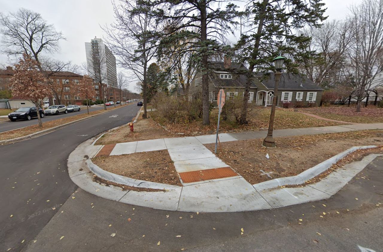
    Street intersection with a concrete bumpout at the corner to shorten the pedestrian crossing distance

    Sidewalk extensions or Bumpouts

    Sidewalk extensions or bumpouts at intersections which narrow the roadway to allow safer pedestrian crossings, improve sightlines for all users and slow vehicles.

    Street intersection with stop sign positioned behind the sidewalk crossing.

    Signage Reconfiguration

    Signage reconfiguration at some two-way stop intersections to facilitate smoother bicycle operations along bike boulevards. For example, stop signs would not be on the bicycle boulevard but on the cross street to allow bicyclists to proceed through the intersection without stopping and have the right of way.

    Rectangular Rapid Flashing Beacon on either side of the street.

    Rectangular Rapid Flashing Beacon (RRFB)

    Improved crossings at major street intersections to ensure safe and convenient crossing for users of bike boulevards. Rectangular Rapid Flashing Beacons lights that are triggered by a push button and include a pedestrian sign. 

    Street with paint on it saying boulevard and a bike image and a street sign naming the bike boulevard

    Navigation Signage

    Improved navigation signage to help boulevard users connect with other bicycle facilities and to navigate to key recreation destinations along or near the route.

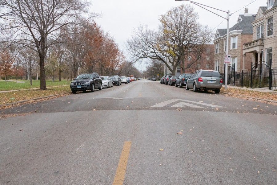
    Street with a speed bump on it.

    Speed humps/tables

    Speed humps/tables force vehicles to slow down to maneuver over them. These can also be designed at intersections to allow for safer and more accessible pedestrian crossings by raising the surface of the entire intersection or crossing points.

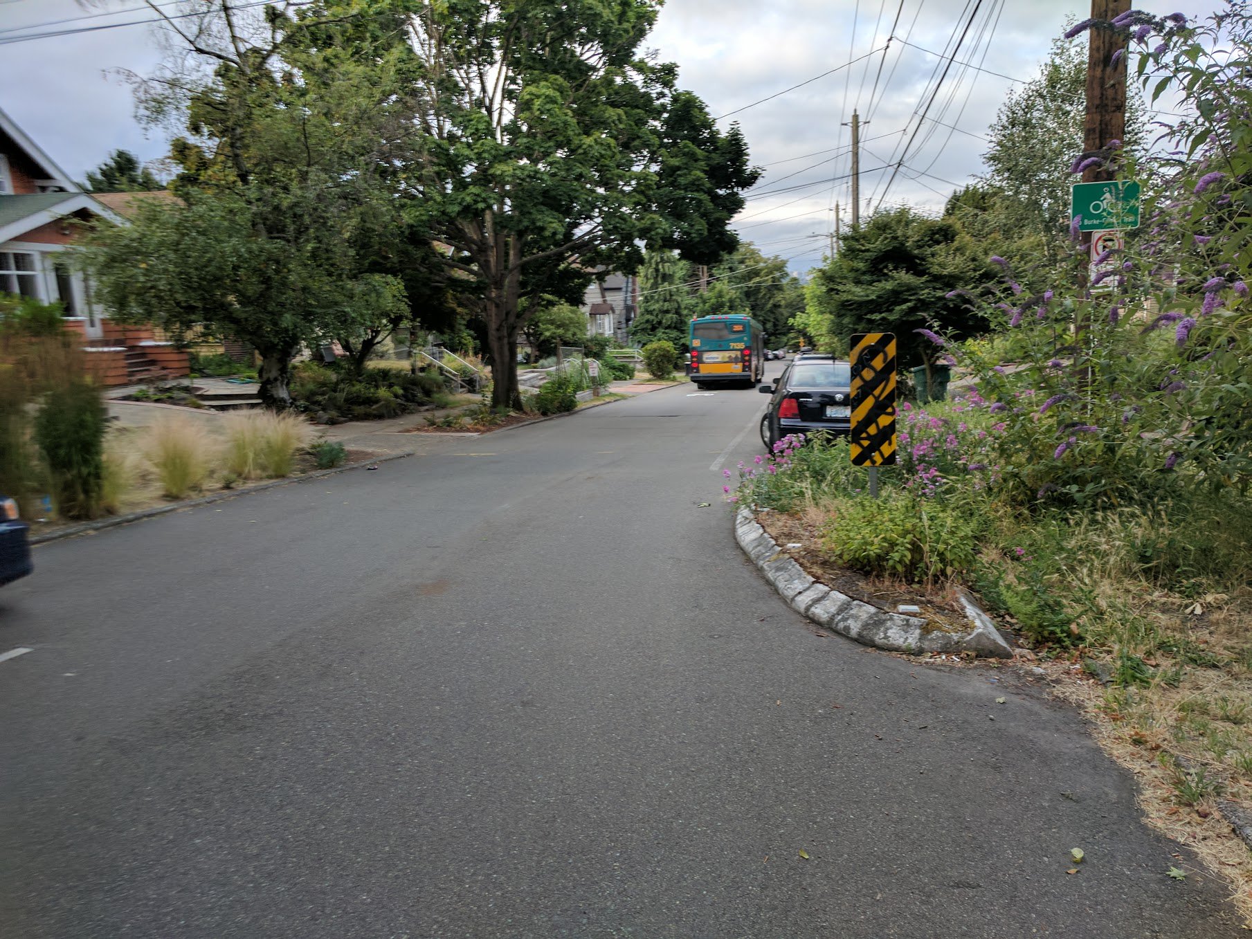
    Street with a chicane on it

    Chicanes/Pinch Points

    Chicanes are a series of raised or otherwise delineated curb extensions or parking bays on alternating sides of a street which when installed form an s-shaped street pattern. These provide visual cues and create pinch points that force vehicles to maneuver around them which in turn causes vehicles to slow down.

    Concrete Center Median

    Center Median Islands

    Center median islands can be installed to facilitate pedestrian crossings of a street while also presenting visual cues to vehicles to slow down.