Purpose and Overview
The Downtown Streets and Sidewalks Plan will examine all the needs that downtown’s street network must serve and determine the best way to fit the many pieces together. Our work will identify how Downtown’s streets and sidewalks can prioritize an enhanced pedestrian experience and reduce automobile dependency.
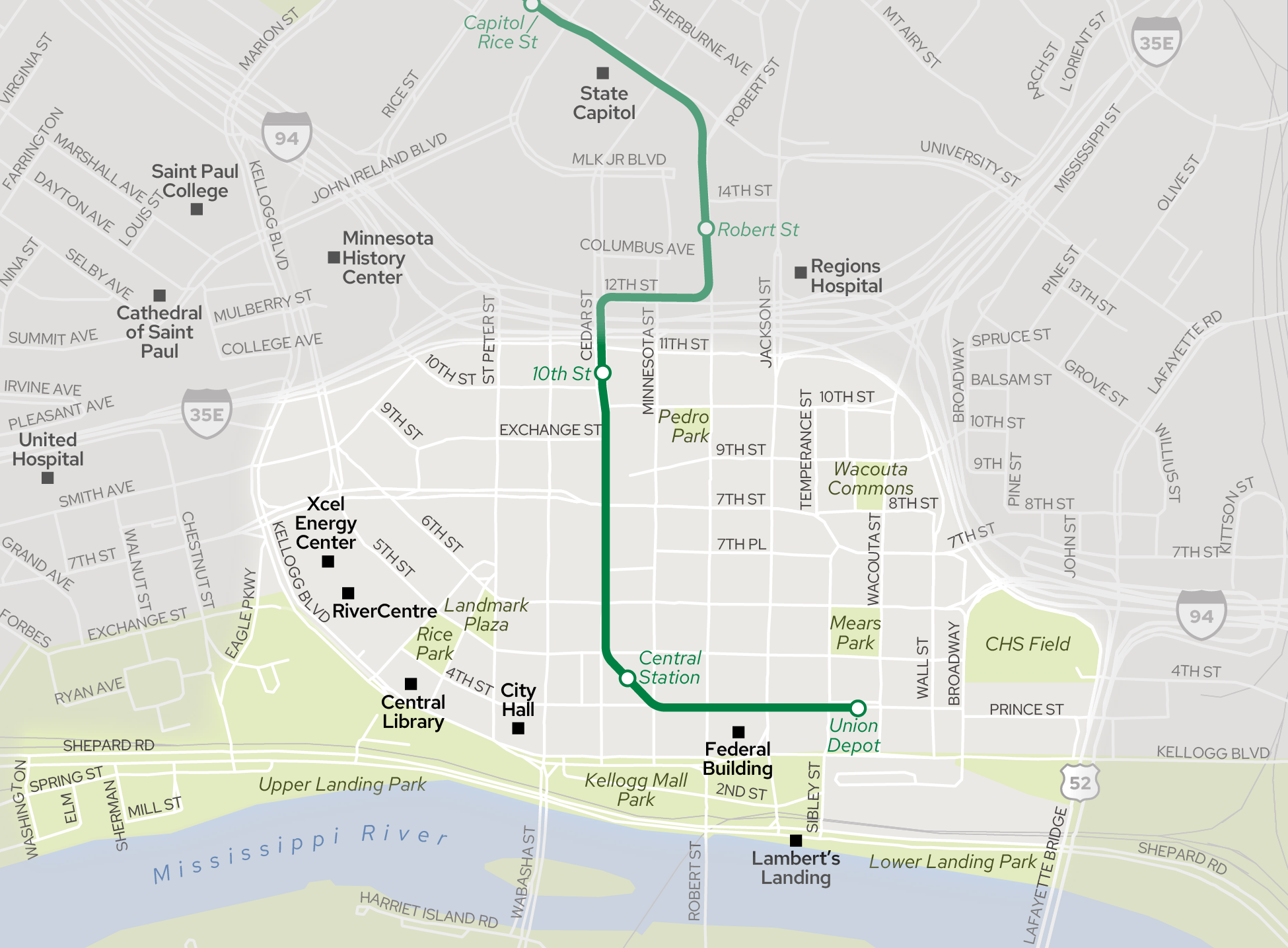
The Saint Paul Climate Action and Resiliency Plan identifies a goal of reducing single occupancy vehicle commuters by 40%. As a historic regional employment center poised for evolution, downtown Saint Paul’s transportation system plays a large influence in reaching this goal. Recent multimodal transportation investments in downtown streets include the Capital City Bikeway, Green Line LRT, Gold Line BRT, and others, which have begun to lay the groundwork for a multimodal downtown that relies less on single occupancy vehicles and has a complete network of efficient and low-stress alternatives.
Additionally, the Downtown Investment Strategy envisions significant future growth in residents, employees and visitors. The downtown public infrastructure, streets, and sidewalks must be ready to support that growth in a sustainable way. The Downtown Streets and Sidewalks Plan determine the best way to achieve this.
Plan Timeline
The Plan will be in development from Fall 2024 to Spring 2026 and transition through four phases of work: Create the Vision and Goals, Propose Street Types and Network Options, Refine Network and Start Case Study Corridors, and Document the Plan. Public feedback will be used to inform each step.
Printable image of the process graphic

Plan Leadership
The Downtown Streets and Sidewalks Plan is led by the Saint Paul Department of Public Works and is guided by a Technical Advisory Committee composed of government agencies and community organizations. A roster of the groups involved in monthly TAC meetings can be found in Documents.
The Plan will be improved with more involvement. Sign up for email updates today to stay informed of study progress and be alerted of moment for formal public feedback.