Maps by Topic

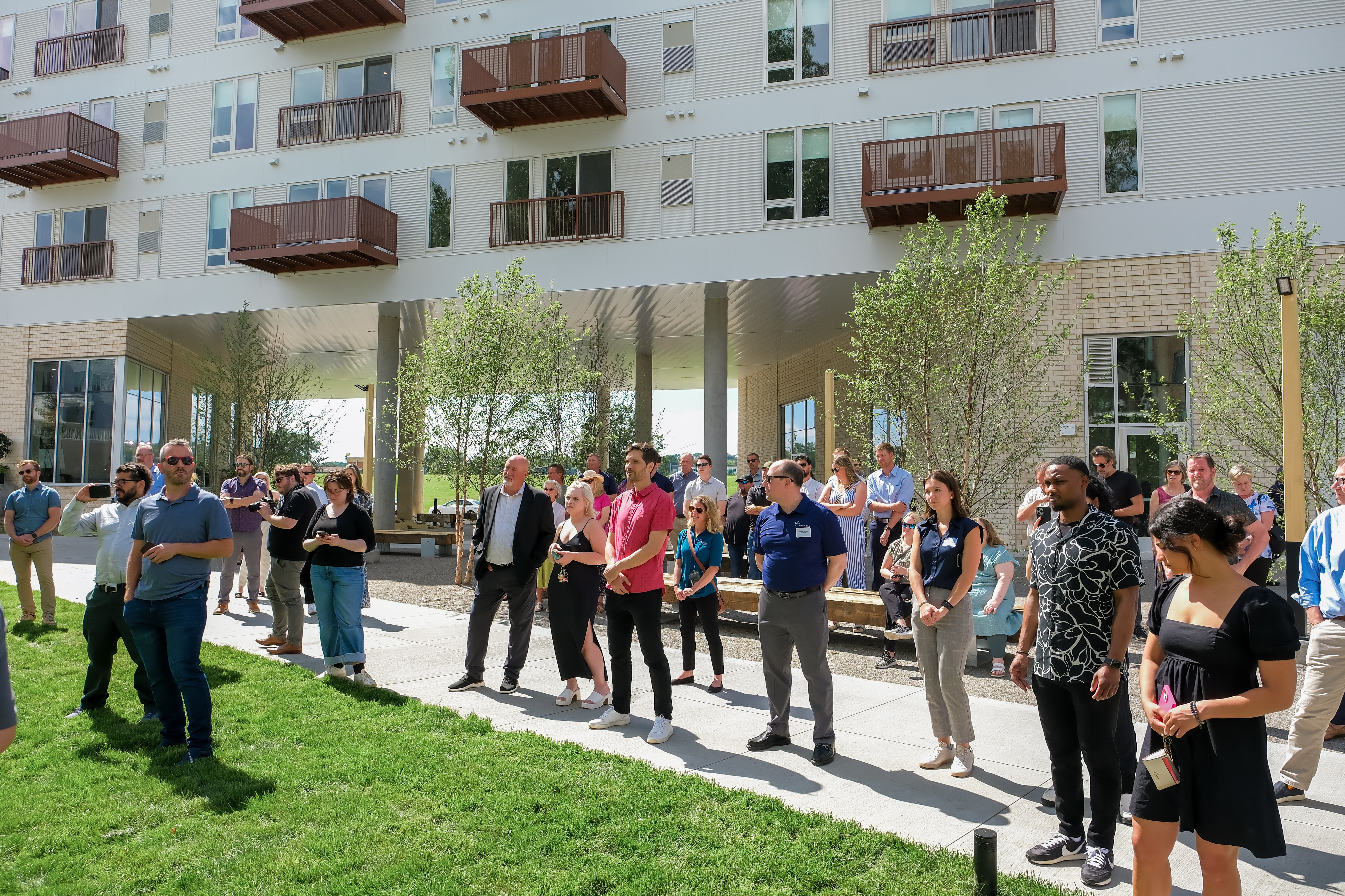
A crowd of people at an event in the courtyard of an apartment building.

Zoning

The City of Saint Paul zones land for certain uses. Zoning determines whether a site can be commercial or residential, how dense new development can be, and more. 

For information about a particular site, please call the Department of Safety and Inspections at 651-266-9008.

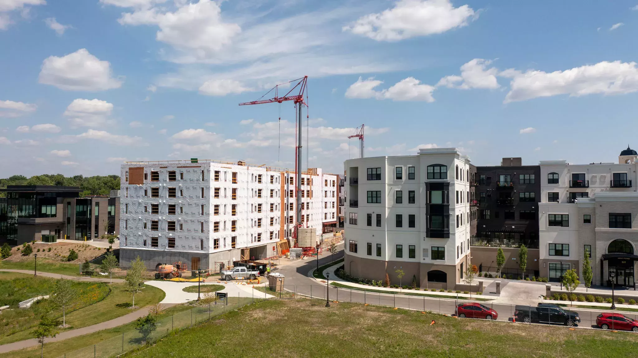
Councilmember Anika Bowie, Mayor Melvin Carter, developers and community members cut a ribbon at the Twelve 22 Apartments on University Avenue.

Community Development

View how the City of Saint Paul is growing, from affordable housing creation to new development opportunities through the Housing and Redevelopment Authority (HRA)

Find your local district council to get involved in development in your neighborhood.

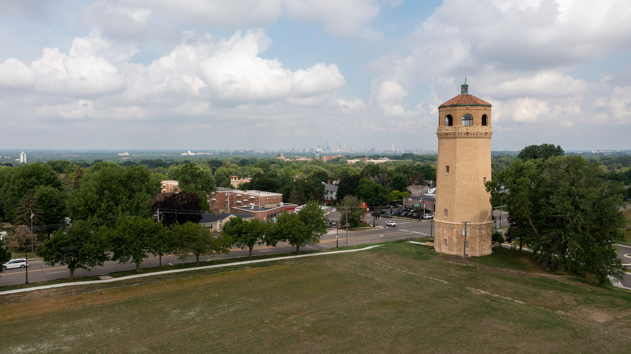
Historic Highland Park Water Tower.

Historic Preservation

The City of Saint Paul works with property owners to preserve community history for future generations. View historic sites and explore Saint Paul's history through story maps.

Explore Saint Paul Community Trends

Explore demographics, housing, equity, and employment data in Saint Paul. Get to know our City with the Community Development Insights tool.
Community Development Insights

Mapping and Data Services

PED staff provide mapping and data services to the public for a fee. To purchase maps or data from PED, please fill out our map request form and submit via email to PED-Research@ci.stpaul.mn.us

Staff mapping and data work costs $50/hour with a one-hour minimum. Printing and plotting costs $5/foot, with added $4/foot charges for aerials and other data-intensive layers. Please allow three business days for the completion of your map or data request.

Request Form - Word Document

Request Form - PDF (Preferred) 

Last Edited: November 13, 2024